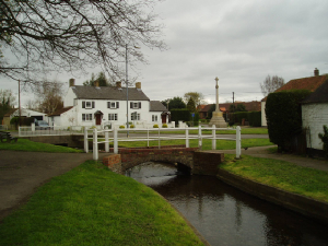
Image description

Dunholme Village

OUR VILLAGE

Background picture taken of havesting in a corn field on Honeyholes Lane August 2014

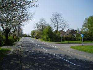
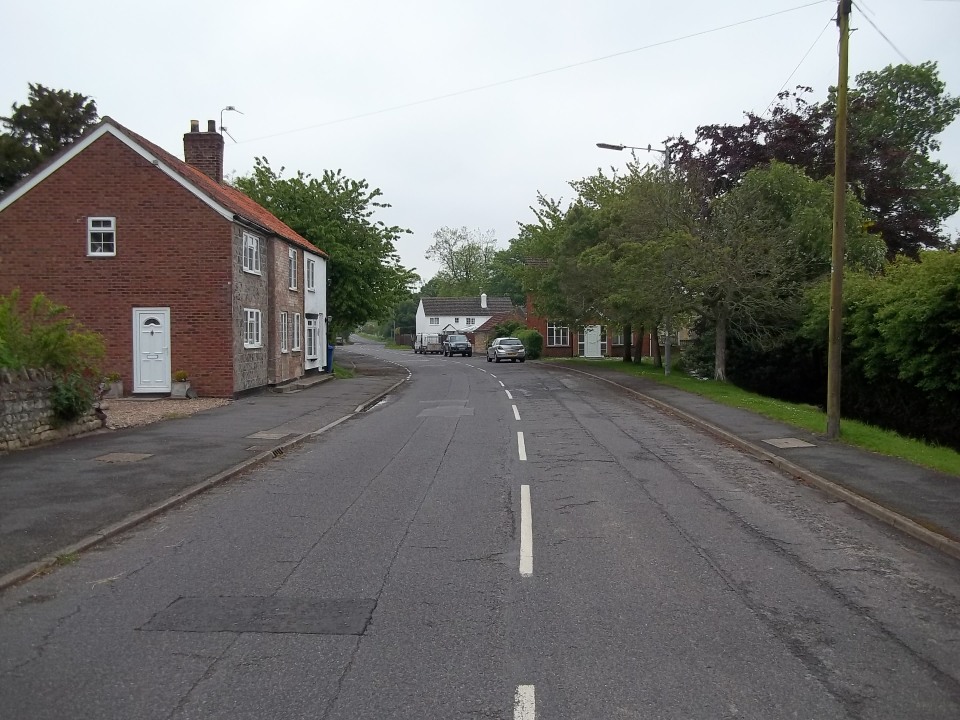
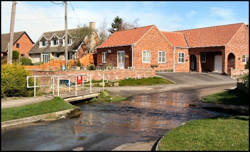
 The village stands almost exactly in the middle of the parish, on the banks of it's beck (small stream) and at the foot of several very low hills. A taged and barbed arrow head from the broze age has been founf in the south west corner of the parish in 1957. A considerable quantity od Roman pottery has also been found.  Dunholme is approximately six mile from Lincoln and sits of the Rooman road from Bath to Grimsby the Fossway. Now known as the A46 trunk road. It is therefore asumed to be the first stop-over for travellers on their way from Lincoln to Market Rasen, Caistor and Grimsby.

The earliest writen evidence concerning Dunholme is found in the Domesday Book (1087). At that time Dunholme was divided between three owners; the King (William the1st), Ilbert de Lanci and Ralph Paganel. Some of the King's land was held by Odo the Arblaster (Cross-bow maker). The Kings land passed very soon to the Bishop of Lincoln, and the Bishop of Lincoln is still Lord of the manor of Dunholme.  The division  from an early date into two (possibly three) manors has given rise to some confusion. The Bishop's manor is the only one for which any records has survived. Two farm houses in the village have laid claim to the title of manor house. The only one surviving today is the manor farm house on Market Rasen Road. The other was demolished to make way for the development of houses on Scothern Lane known as Manor Way.


Extract taken from "Notes on Dunholme" by Terence R Leach 1964


Image description

The Beck Bridge

View showing the church foot bridge leading to the church from Market Rasen Road. Beyond that there is another bridge for the main road (the old A46).

The green and the war memorial can be seen centre right with the ivy covered Bridgeview cottages to the right


Site created in BaseKit

The Dunholme Beck

This view was taken from the church bridge facing north. the house on the left is in Watery lane and the wooden fence on the right is the rear garden of the Old Vicarage

Site created in BaseKit

Beck lane

There are few ford left in the country but Dunholme has two of them. The one in Watery Lane is used regularly by traffic but this one is not very suitable for certain types of vihicles due its narrowness and steep banks. it leads ito Ashing Lane.

Dunholme village remained fairly small up to the second world war but with the establishment of the RAF aerodromes of Dunholme Lodge, Scampton, Faldingworth and Wickenby the temporary population increased dramatically. Afte the war many wished to settle in the area after leaving the services. So in 1946 the Welton Rurual District Council embarked on a house building programme of social housing in East Honeywell. After that came developments throughout the 50's and 60's on Honeyholes Lane, Watery Lane and Merleswen area. After two tagic traffic acidents on the A46 in the village it was agreed that a bypass should be built but with a proviso that in-filling of houses should occue. This led to further houses being built in the 1990's and into the new millennium. 

Today there are proposals for up to 500 more houses on four separate sights on Lincoln Road and Honeyholes Lane.


Image description
Image description
Image description

Oak Drive


Together with Wentworth Drive and Beech Close was a development on what was the 9 hole golf course belonging to the Four Seasons Hotel. they were built in the new milennium and comprise a misture of private housing


Image description

Merleswen


Together with Paynell, The Granthams, Anderson and Kneeland forms a development in the 1960's. All the names coming from idividuals or families who have been prominent in the history of Dunholme. All are privately owned and most are bugalows


Image description

 Allwood Road


 Built in the late 1940's by the local authority. Allwood Road plus Tennison Drive, Deane walk, Morris Close, Swan Close and Hughson Walk form three sides of a squre with a children playing field in the middle. They are mainly terranced properties with some bungalows and half a dozen maisonetts.  Quite a lot are now owner occupied


Image description

Lincoln Road

This road heads south to Lincoln but was the main trunk road A46 before the bypass was built


Market Rasen Road

This road heads north to Grimsby. It was the A46 before the bypass was built in the 1980's

Watery Lane Ford.

One of two fords in the village. Watery Lane comes off Ryland Road and joins Holmes Lane behind the Church